Transforming
Spatial Data into
Sustainable Solutions
Informed Decisions
Precise Insights
Smarter Cities
Environmental Focus
|
Empowering industries with innovative geospatial technologies to drive informed decisions, enhance sustainability, and solve complex challenges.
Clients



About us
Your Trusted Geospatial Technology Experts
We deliver top-notch geospatial solutions and consulting services, empowering industries with the tools for precise decision-making.
From cutting-edge GIS applications to advanced drone and satellite surveying, Oases Geospatial Ltd. is your go-to partner for accurate, sustainable results.
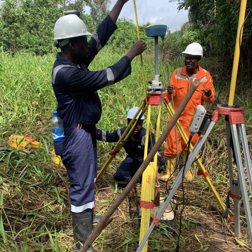
Innovating Geospatial Solutions, Driving Global Change
Geospatial
Technology
Delivering cutting-edge geospatial solutions using GIS, remote sensing, and advanced surveying tools.
Innovation and Accuracy
Providing precise, innovative solutions for mapping, data analysis, and environmental monitoring.
Client-Centric Approach
Tailored services designed to meet the unique needs of governments, businesses, and institutions.
Sustainable Development
Empowering decision-making for sustainable resource management and urban development.
Services
We provide Innovative Geospatial
Solutions for Every Sector

Drone Operations & Surveying
High-precision aerial surveys, inspections, and mapping using advanced UAV technology.

Data Analysis & Interpretation
Leverage GIS and remote sensing to process, analyze, and visualize complex geospatial datasets.

Land & Hydrographic Surveying
Accurate terrestrial and bathymetric surveys tailored for development and infrastructure projects.

GIS Mapping & Cartography
Creation of detailed maps and spatial models for urban planning, navigation, and land management.

Remote Sensing Solutions
Satellite imagery and remote sensing for monitoring environmental and geographic changes.

Geospatial Software & Platform Development
Custom applications for efficient geospatial data management and real-time analysis.

Environmental & Resource Management
Sustainable solutions for agriculture, forestry, water conservation, and environmental monitoring.

Training & Professional Development
Empowering clients through workshops, seminars, and tailored training programs.

Equipment Sales & Technical Support
Reliable procurement, leasing, and maintenance of geospatial tools and technologies.
Our Portfolio
Check out some of our projects -

ANOH GAS PLANT
LOCATION: ASSA NORTH IMO
Project Highlights:
Geographic Information System (GIS) category, GIS and Remote sensing, Surveying
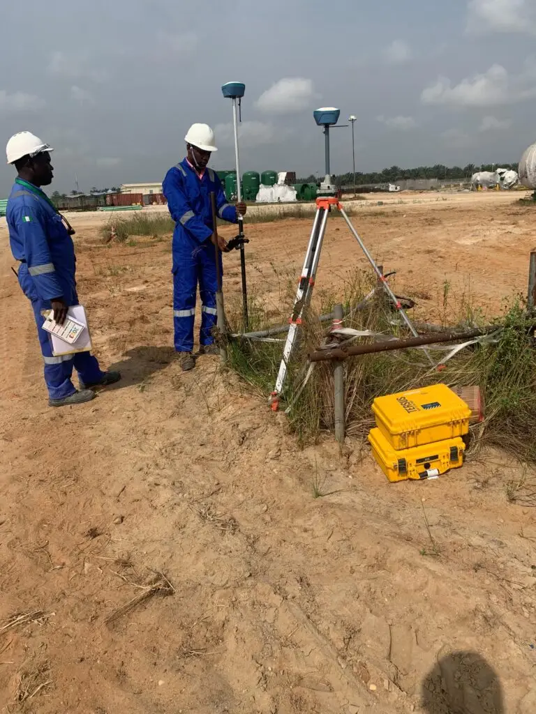
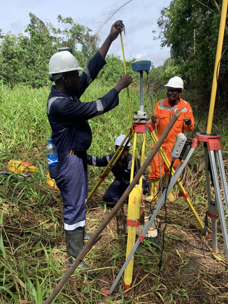
Project Highlights:
Right of way

EPU-ZARAMA PIPELINE
LOCATION: EPU/ZARAMA BAYELSA

MARADI RAILWAY
LOCATION: KANO – NAIJA REPUBLIC
Project Highlights:
Geographic Information System (GIS) category, GIS and Remote sensing, Surveying

Our Work
Speaks for Itself

LAND USE/LAND COVER MAPPING AND ANALYSIS OF
LOCATION: AKURE, NIGERIA

LAND USE PLANNING
LOCATION: EPU/ZARAMA BAYELSA

GOVERNMENT PROJECT
LOCATION: ASSA NORTH IMO
Testimonial
What our Customers
are saying about us
Working with Oases Geospatial Ltd. was a game-changer for our urban development projects. Their precision in mapping and geospatial analysis ensured we made informed decisions every step of the way.

The team at Oases Geospatial is highly knowledgeable and reliable. Their hydrographic survey for our coastal project was executed with professionalism and precision.
Contact Us
Get in Touch with Us
- +234-(813) 560-8065
- contact@oasesgeospatial.com
- 12 Ashiata Street, Ikeja, Lagos
